
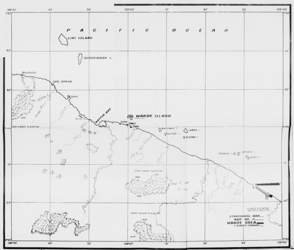
Several maps of the Wakde Island area, Dutch New Guinea are attached to the May 1944 Unit History of the 501st Bomb Squadron, 345th Bomb Group.
V Bomber Command Strategical Map No 11 had been split into quadrants during the microfilming process. The four images were pieced back together with only a small amount of distortion evident along the midline. The map provides a good picture of locations near Wakde Island.
The V Bomber Command target number map below had been split into four pages and was pieced back together, again with minimal distortion. This map is labeled as Mission FFO-132-E, May 11, 1944.
