An interactive map showing the locations of the central Philippine airfields used by the 345th Bomb Group.
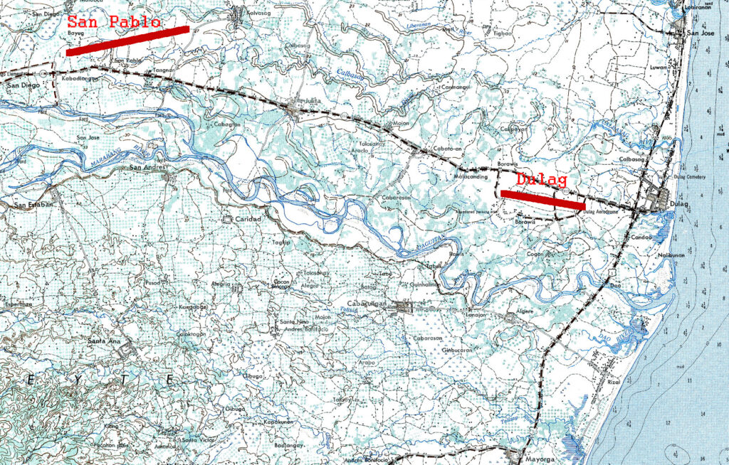
After the arrival of the S.S. Thomas Nelson and S.S. Morrison R. Waite in Leyte Gulf on October 29, 1944, most of the troops were kept aboard while small crews worked to make their new camps near the San Pablo airdrome. On November 12, kamikazee planes struck both of the liberty ships and caused much death and destruction.
On the morning of November 13, the survivors were finally put ashore and they spent the next few days moving from one unsuitable camp site to another before finding a spot fifty yards from the sea, three miles south of Dulag near the village of Rizal. They spent the rest of November and most of December improving their camp areas.
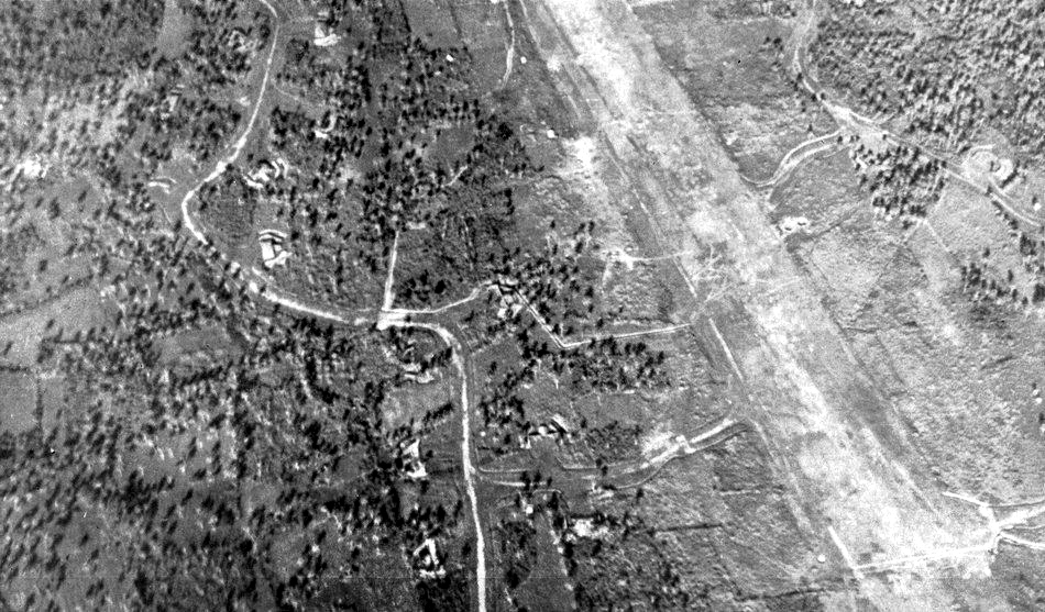
The 345th was originally ordered to operate from the San Pablo #2 airstrip. After doing some preliminary work at that location, it was determined that the site would not be adequate, so the original plan was abandoned.
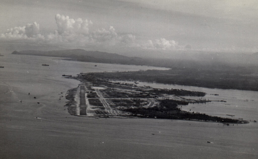
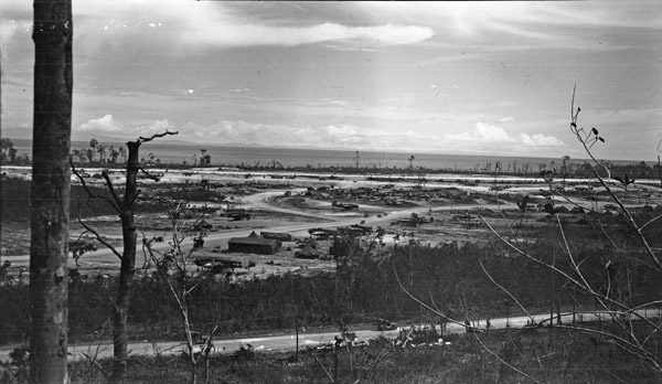
The flight echelons began arriving at Dulag around December 27 but the airdrome could not accomodate all of their airplanes. The 489th and 499th moved to the airfield at Tacloban while the 500th and 501st operated from Dulag and Tanauan fields on Leyte, and San Jose field on Mindoro, then moved to Tacloban by January 4, 1945. The group was assigned to use the hardstands in the southwest corner of the airfield.
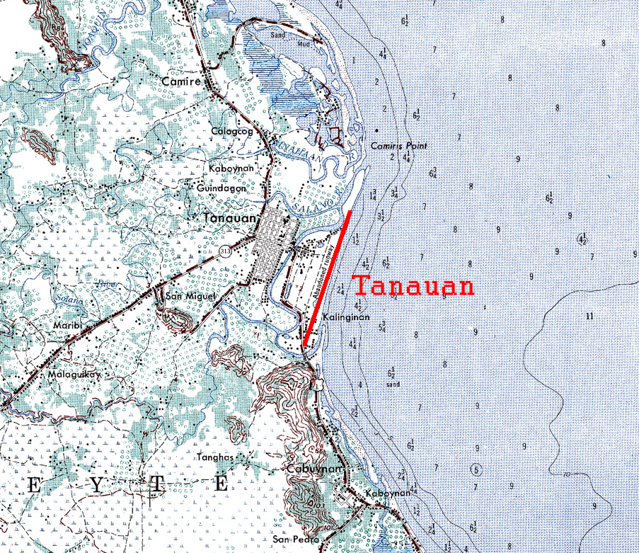
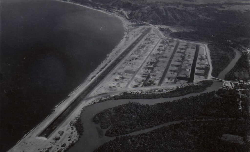
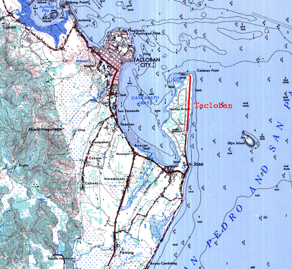
The 501st Squadron mission report for December 28, 1944 states that they landed at ‘San Jose’ airfield after their mission to attack shipping along the coast of Busanga Island. San Jose airfield was also known as McGuire field. It appears that they spent the night there, then flew a mission from there to Silay airdrome on Negros Island on the afternoon of the 29th before returning to the the Dulag and Tanauan airfields.
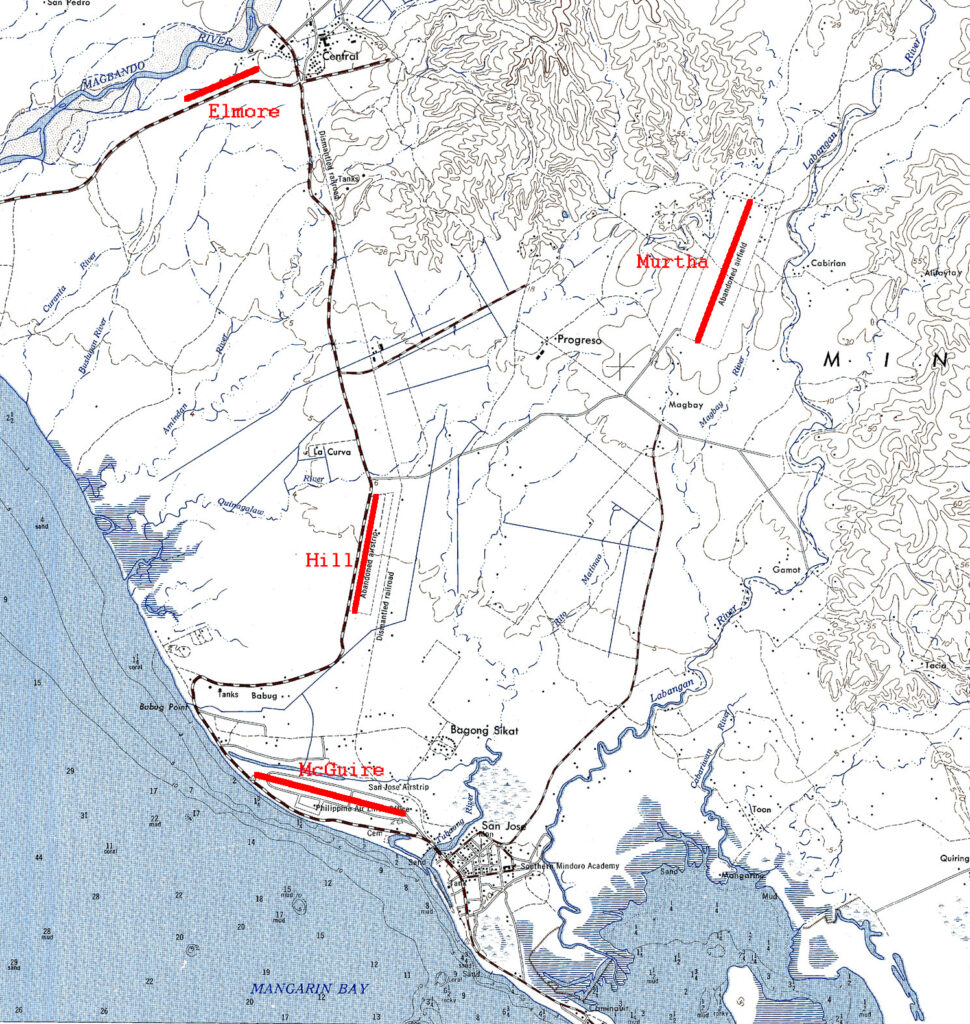
The 307th Bomb Group website indicates that McGuire field had taxiways that were soft after rain and that transportation was available to the nearby transient quarters. The airfield must have been accustomed to being used as a staging area for roving units.
The move from Biak to Leyte was an 1,100 mile leap forward for the 345th Bomb Group. From Leyte, missions were flown to other Philippine islands, Indochina, Hainan Island, and Formosa.
The 345th would operate out of Tacloban until February, 1945 when they would make another move to the north.
