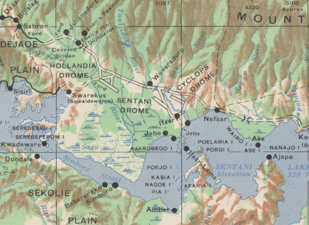
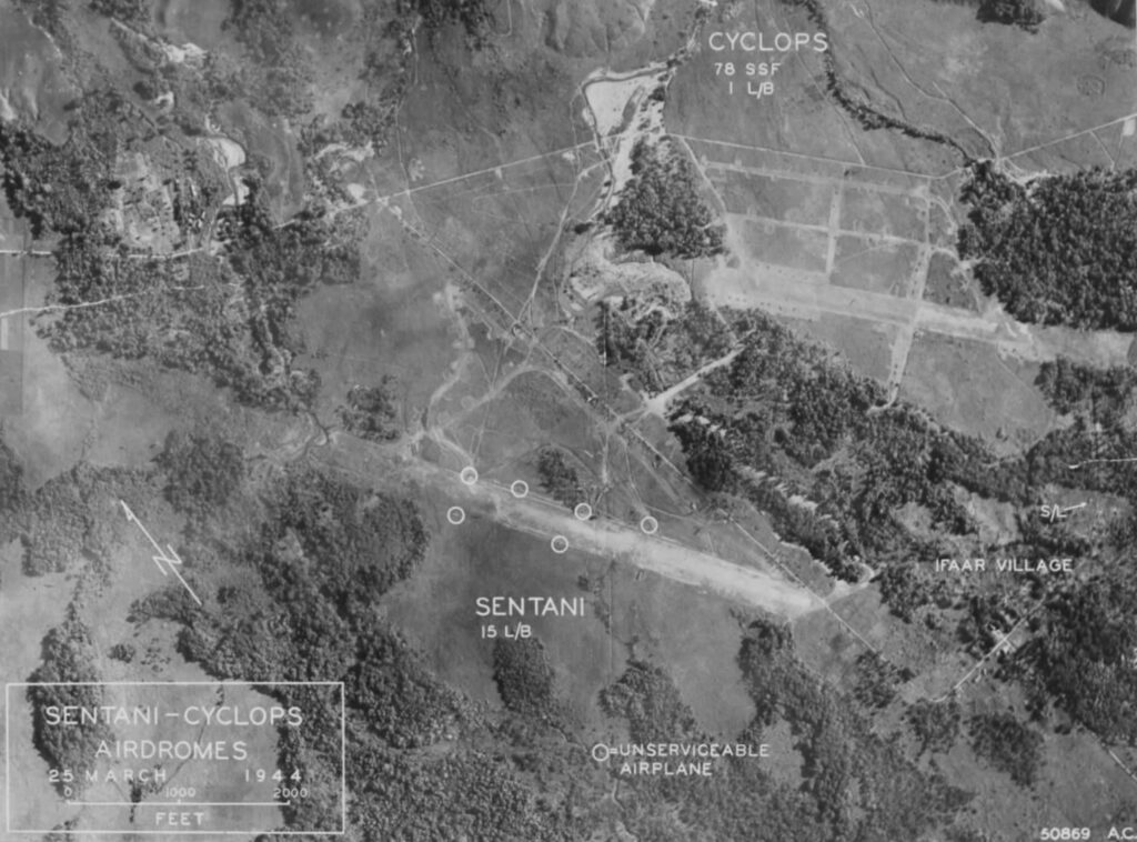
An interactive map showing the three wartime airfields at Hollandia, Dutch New Guinea and mission target locations that were attacked while staging out of Hollandia.
By May 1944, targets for the 345th Bomb Group were getting too far west to be reached efficiently from Nadzab. In order to extend their reach, the 345th began to stage missions out of Hollandia, whose airfields had been seized during the invasion of Hollandia in April. The airfields at Hollandia were about 550 miles northwest of Nadzab, which equated to a similar westward extension of their area of operation.

In the interactive map above, the towns of Sarmi and Sawar are included as some of the farthest missions flown out of Nadzab. At a straight line round trip distance of about 1,280 miles, a B-25 with a standard range of 1,350 miles would be critically low on fuel on the return trip. Additional fuel tanks could be installed in the B-25 to extend their range, but at the cost of a reduced bomb payload.
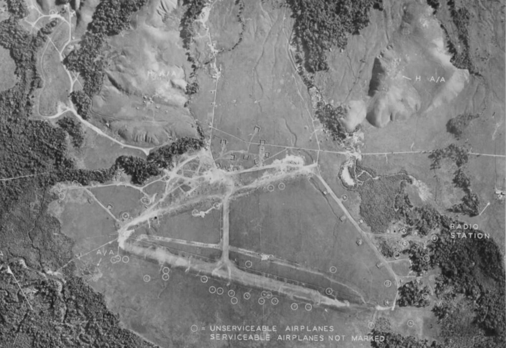
The Hollandia airdrome, pictured below, was used as the staging point for the June 1944 missions to support the ground troops involved in the invasion of Biak. Mokmer airdrome on Biak would become the next permanent base for the 345th by the end of July.


The Hollandia area was improved after the Allied invasion in April 1944 and was turned into a major base supporting the drive toward the Philippines. The C-47, crew and passengers featured in the Mitchell Zuckoff book, Lost in Shangri-La, were based out of Hollandia in 1945.
Today, an expanded Sentani drome survives as Sentani International Airport.
