
Late in October 1943, reconnaissance flights reported a concentration of Japanese naval and merchant vessels in Simpson Harbor at Rabaul, New Britain. To prevent the reinforcement and resupply of enemy forces in the Solomon Islands, it was decided to stage an attack against the shipping at Rabaul.
Interactive map of the November 2, 1944 raid on Rabaul.
The plan called for a coordinated attack by the 345th and 38th Bomb Groups, and the 3rd Attack Group. The 345th Bomb Group would lead the attack, with the objective of neutralizing anti-aircraft positions on the shore around the harbor.
After two days of rain delays, the plan was executed on November 2. The squadrons of the 345th worked in pairs: the 501st with the 499th and the 498th with the 500th. The leading squadrons dropped 23lb parafrag bombs and strafed A/A and automatic weapon positions and were followed closely by their partner squadron dropping 100lb white phosphorus smoke bombs in the same area in order to the hinder the vision of any remaining enemy gunners.
The 501st Squadron led the group and opened the attack by roaring in from the northeast at an altitude of 100 feet and dropped 480 parafrags in the Sulphur Creek area on the eastern shore of the harbor. The 498th Squadron made a nearly simultaneous attack on the northwestern shore of the harbor. The 499th Squadron was hot on the heels of the 501st and the 500th Squadron followed the 498th as they dropped smoke bombs in the target areas. The entire group was intercepted by several dozen enemy fighters immediately after leaving the target.
Two of the 345th’s airplanes were lost during this raid. According to the Missing Air Crew Reports for those aircraft, one of the ten crewmen was returned to duty some time later.
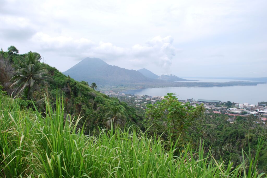

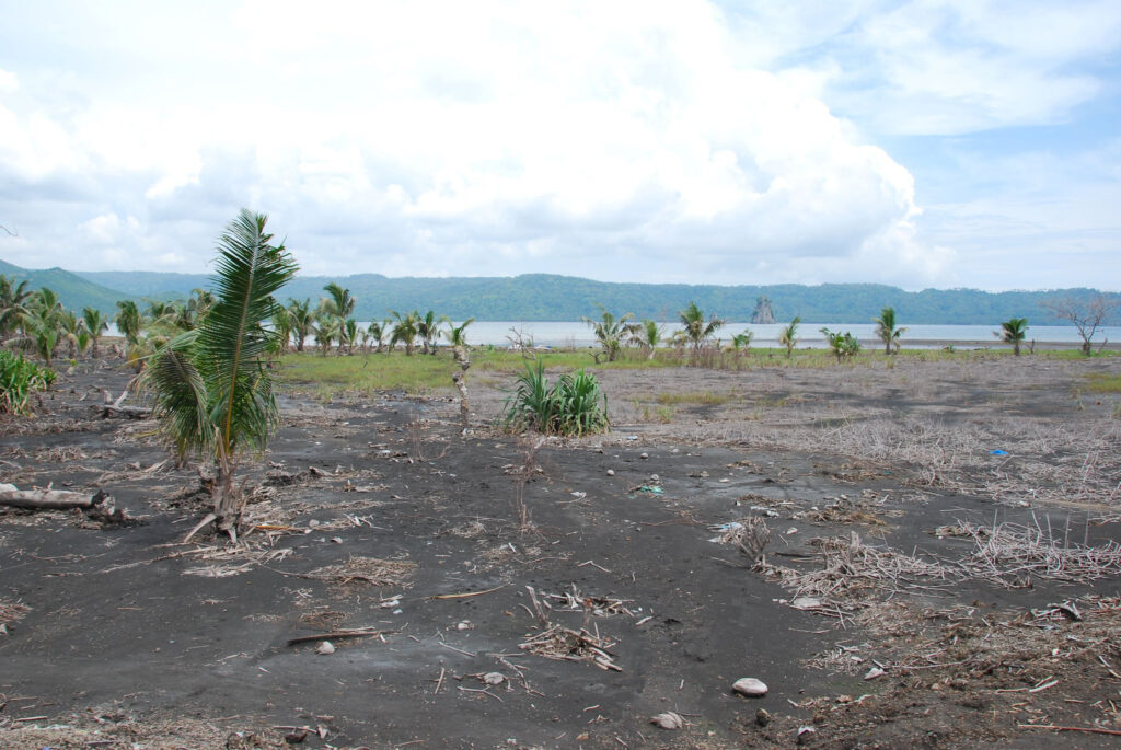
In order to make the interactive map above, I used maps from the mission reports. Three of the maps used a base map with a grid of streets while the fourth used a more generalized map of the terrain. I first attempted to align the shoreline of the harbor to satellite imagery but found that I could not find a way to make them match up. This could be because the 1994 eruption of the Tavurvur volcano caused some of the land to rise and an incredible quantity of ash rained down upon the townsite. Perhaps that changed the shape of the shoreline.
I found that the grid of streets would align to the satellite imagery, so I used Mango Avenue and Malaguna Road to position the overlain mission maps. I was able to align some terrestrial features in order to plot the information from the terrain-based mission map.


The interactive map is a bit different than my previous attempts at mapping. The white star indicates the location of Rabaul on the island of New Britain. Zooming in on that star will eventually cause the star to disappear and be replaced with lines depicting the flight paths of the four squadrons. The line colors follows the engine cowl paint color scheme for the 345th squadron. Zooming in closer on Rabaul will cause the flight lines to be replaced by the reported target areas and some labels will appear then as well.