An interactive map of the Port Moresby wartime airfields.
Upon their arrival in New Guinea, the squadrons of the 345th Bomb Group were split up between several airfields. The mission reports have the 498th and 500th taking off from Jackson drome but other sources have the 499th and 500th based out of Durand drome. The 501st mission reports have them taking off from Schwimmer drome. The 499th was camped between Durand and Schwimmer dromes and operated first out of Durand and later out of Schwimmer according to their mission reports.
Jackson, or 7 Mile, drome was one of the main airfields in Port Moresby and is the international airport today. It featured a bomber strip, a fighter strip, a crash strip, and revetments for protecting parked airplanes. It was connected to Wards drome by a system of taxiways. The 498th and 500th Squadrons lived adjacent to this field.
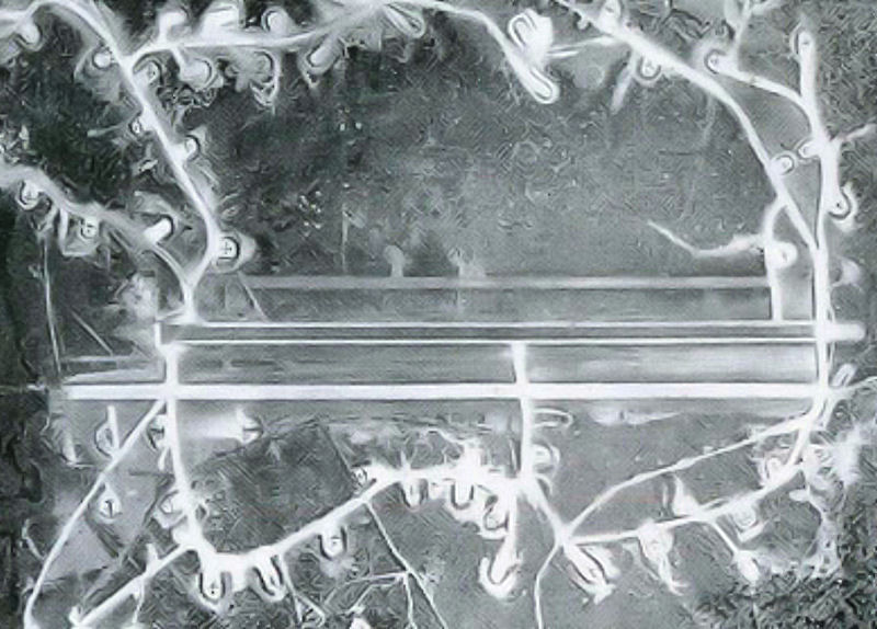
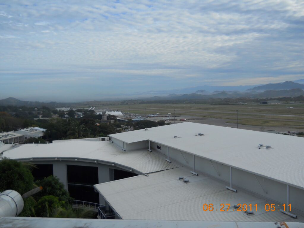
Durand, or 17 Mile drome was situated to the northwest of Jackson drome and was home, at least temporarily, to the 499th Squadron. The camp area was separated from the airstrip and was located somewhere between Durand and Schwimmer dromes. A large swamp was situated just to the south of the airstrip.
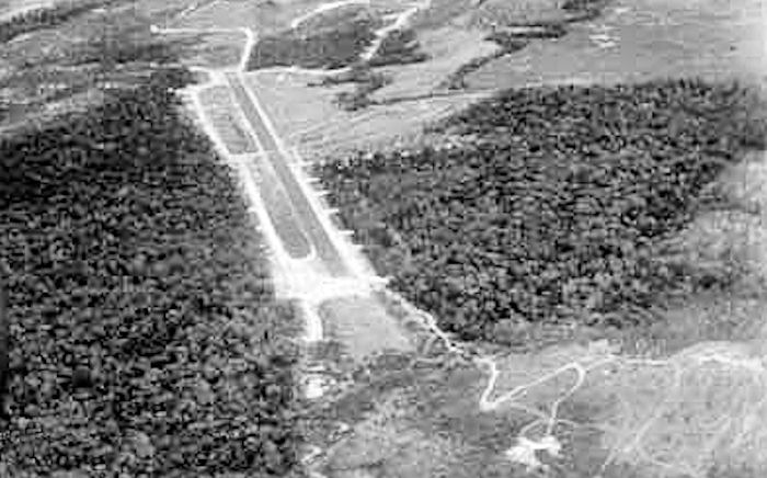
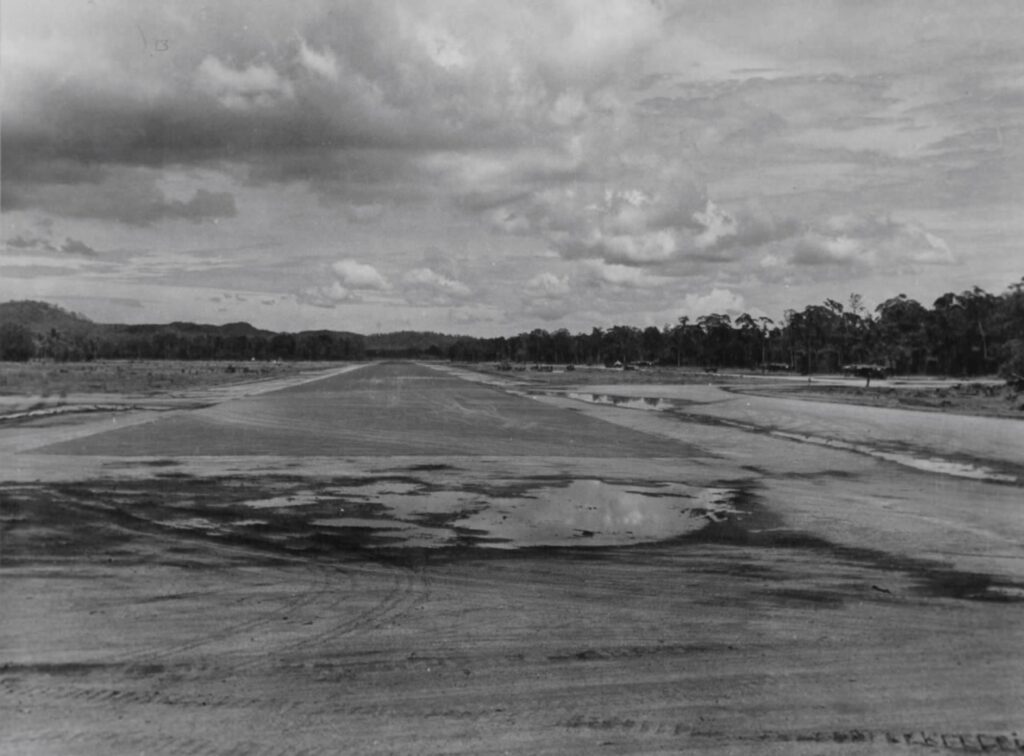
Schwimmer, or 14 Mile, drome was located north of Jackson drome and hosted the 501st Squadron. Their camp was located adjacent to the airfield.
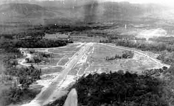
Berry drome, also known as 12 Mile or Bomana, was located to the northeast of Jackson Drome. This field was mainly a fighter strip.
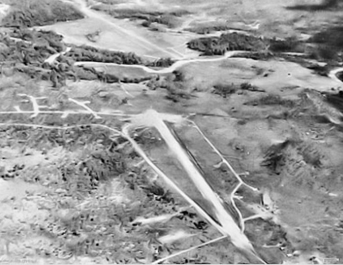
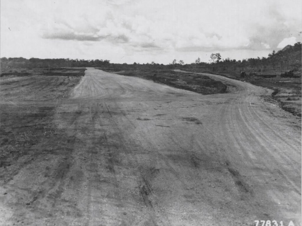
Kila drome, also known as 3 Mile or Kila Kila, was the original airport in Port Moresby. After being refitted for military use, it featured dispersal areas and revetments for fighters and light bombers.
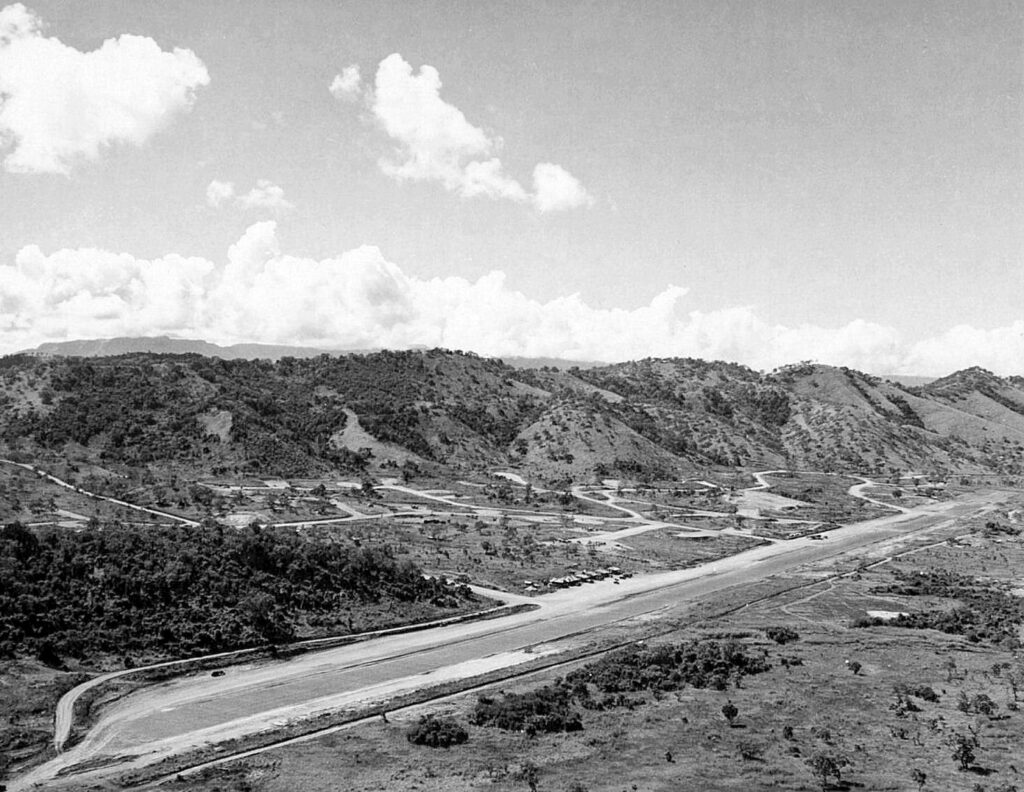
Wards, or 5 Mile drome was the main heavy bomber airfield in Port Moresby. It was located just to the west of Jackson Drome.
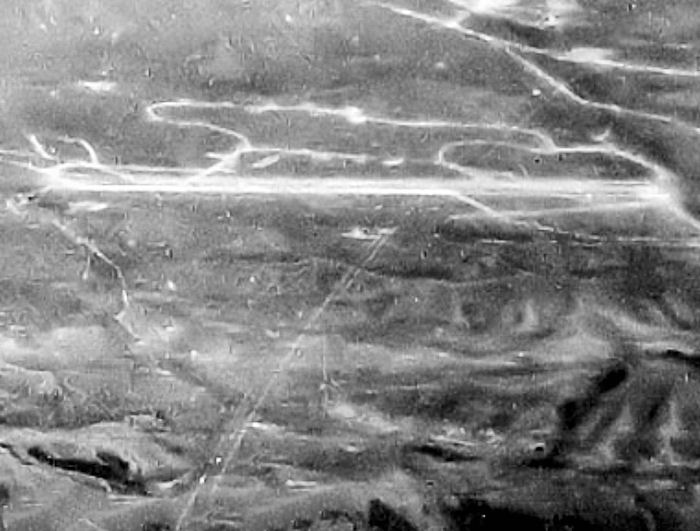
Rogers, or 30 Mile drome, was located well to the northwest of Port Moresby and was used mainly as a fighter or crash strip. I include it in this post because it is often referenced in 345th mission reports as an initial rendezvous location for the group after taking off from their separate airfields.
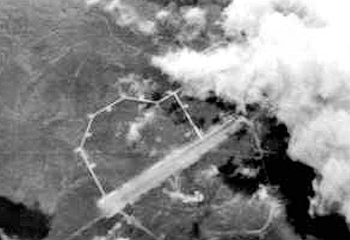
The mile designations are the distance of the airdromes from the town of Port Moresby itself. It would appear that the mileage was measured along the roads leading to the dromes rather than as a straight line distance.
The 345th continued to operate out of the Port Moresby airdfields until mid-December 1943, at which time they began to move first their flight echelons, and then ground echelons to Dobodura.
