An interactive map showing the locations of the staging airfields at Sansapor, Dutch New Guinea and on the island of Morotai, North Molucca.
While the ground echelons of the 345th Bomb Group were facing the rigors of living in a forward area on Leyte, the flight echelons continued to fly missions from Biak and from forward airfields on Morotai and a new airfield near Sansapor on the Vogelkop Peninsula of Dutch New Guinea. This marked the beginning of an itinerant period in the history of the 345th as the squadrons were not stationed together until they finally found a home at Tacloban, Leyte.
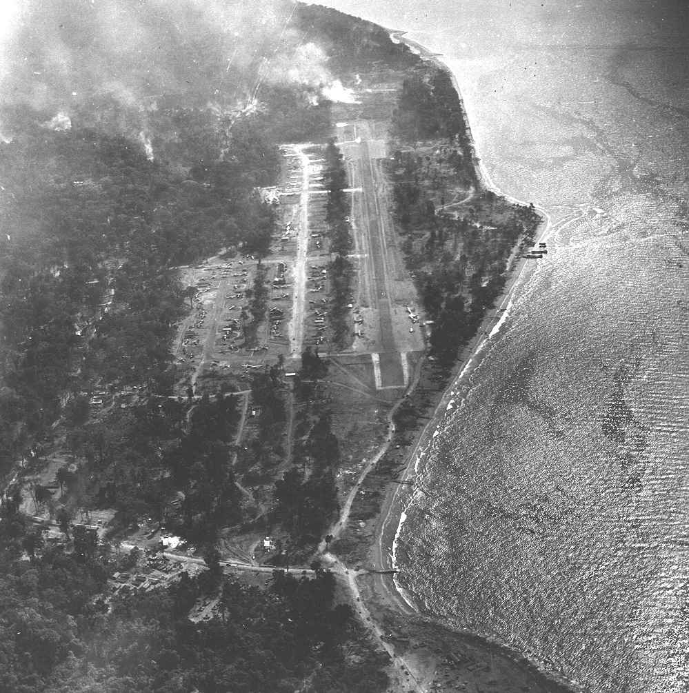
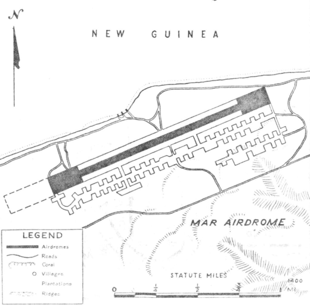
Following the invasion of Sansapor by Allied ground forces, an airstrip was quickly carved out of the jungle. This strip was located near the small, coastal village of Mar, about eight miles east of Sansapor. The airfield was referred to by either village name.
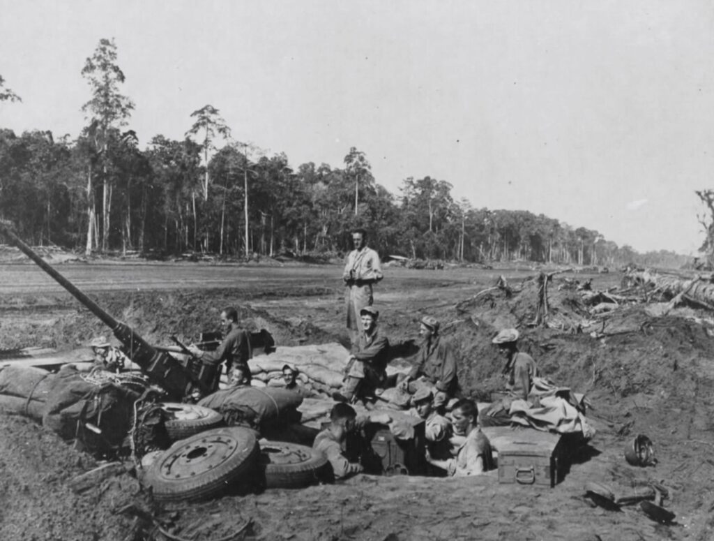
Mar airfield became the temporary home of the 42nd Bomb Group who operated with advance echelon units.
On the website of the 307th Bomb Group, an interesting 1944 document is available in pdf format. This booklet details many of the airfields controlled by Allied forces in the Southwest Pacific Area and contains maps as well as landing information. The map for the Mar/Sansapor airfield is shown below.
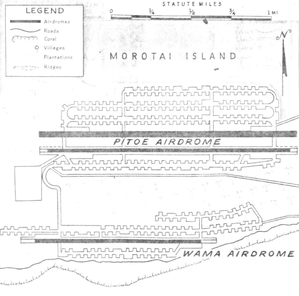
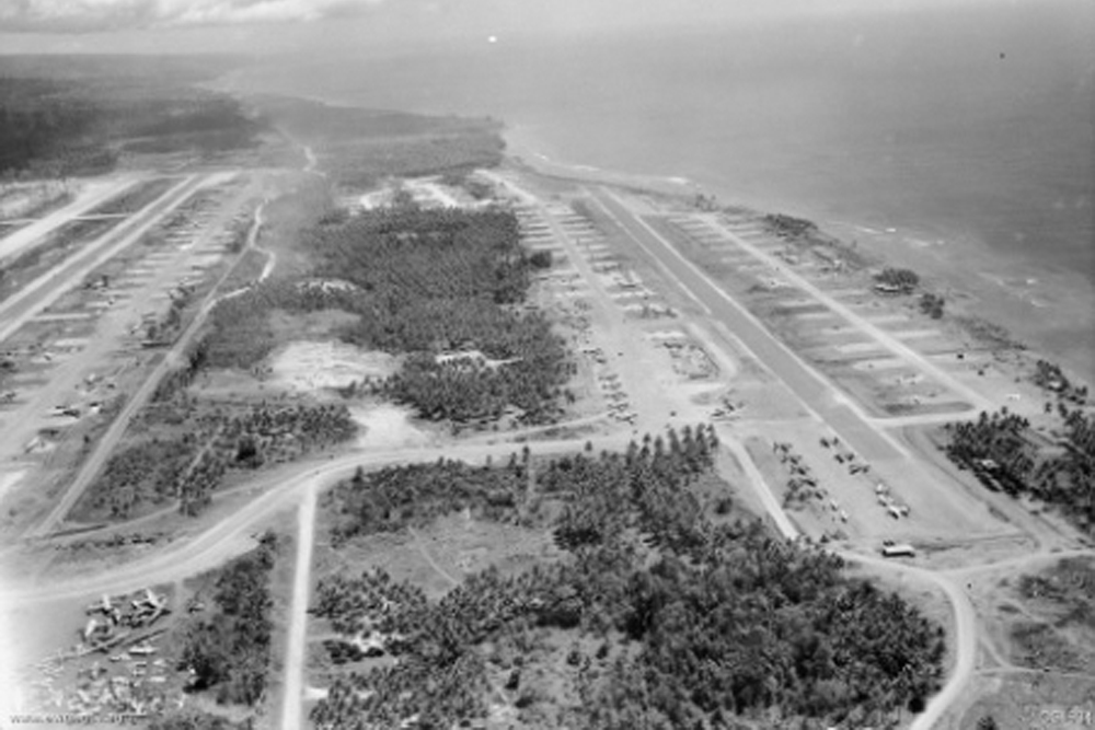
Similarly, following the Allied invasion on Morotai, two airfields were constructed on the southwest corner of the island. Wama airdrome was situated nearly on the beach while Pitoe was several hundred yards farther inland. An existing airstrip was abandonded in favor of building two new airdromes.
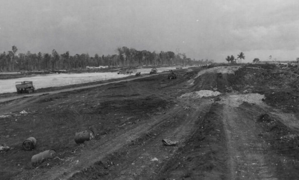
After extensive work by the engineers, both airfields featured long runways, plentiful dispersal areas and interconnecting taxiways.
Shown below is the airfield map from the 1944 airfield guide to the Southwest Pacific Area for Pitoe and Wama airdromes. The 38th Bomb Group was based out of Morotai during the October 1944 to January 1945 period.
