
The 308th Bomb Wing and Fifth Bomber Command developed a mission plan to eliminate the Japanese fighter and bomber aircraft operating out of Clark Field, Luzon. The mission, which was flown on January 7, 1945, involved 120 airplanes from three bomb groups. The aircraft were split into two flights of 60 airplanes, flying in roughly line abreast formations at minimum altitude, that would cross Clark Field in two waves, thirty seconds apart. The first wave would approach the target from the northwest and the second from the northeast. The 345th supplied 40 planes for the first wave of the attack.
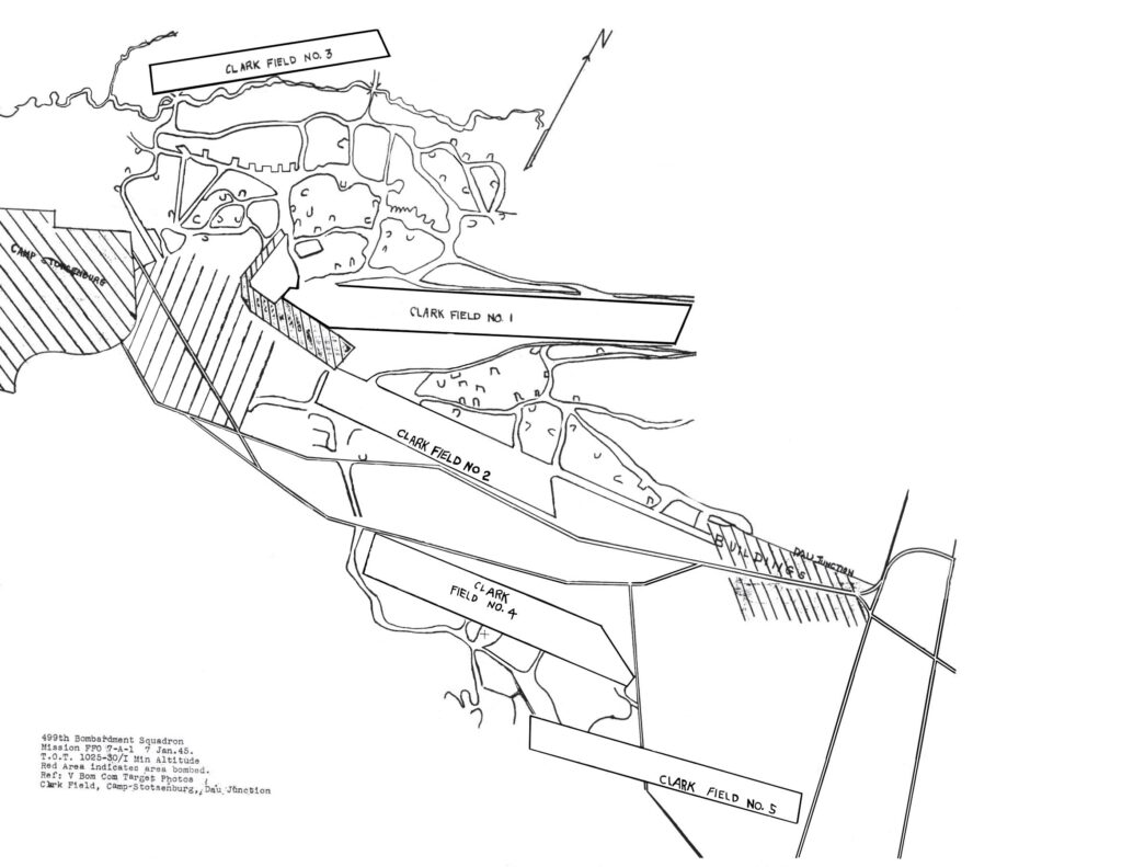
Maps and imagery of the wartime Clark Field seem to be scarce, but included with the mission report of the 499th Squadron was a tracing of a VBC target photo, split across two pages. After some photoshopping to remove the lines of flight and to join the two halves, a decent map of the airfield layout was produced. This overlay was then georeferenced to satellite imagery using several intersections in the Dau Junction area, bends along the rail line running from Dau to Camp Stotsenburg, and an angle along the Camp Stotsenburg perimeter as control points. The runway outlines were then traced and saved to the satellite image for use in the live map at the top of this page.
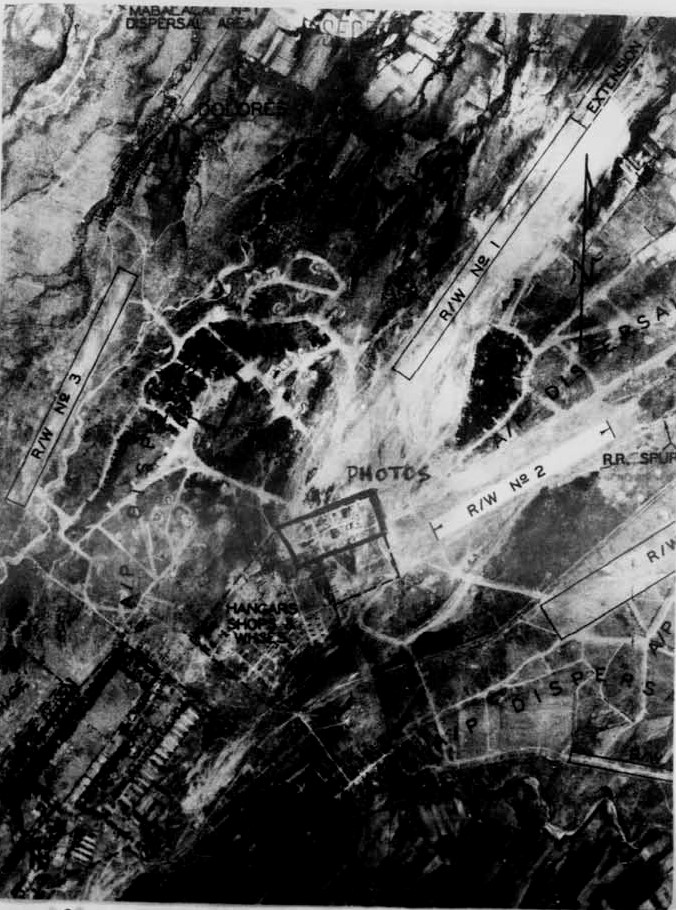
In the January 1945 Unit History of VBC, part of an annotated vertical aerial photo was included in their coverage of this mission. The overlay and photo can be scaled so that they overlap quite well, which suggests that the photo could be the target photo referenced on the overlay.
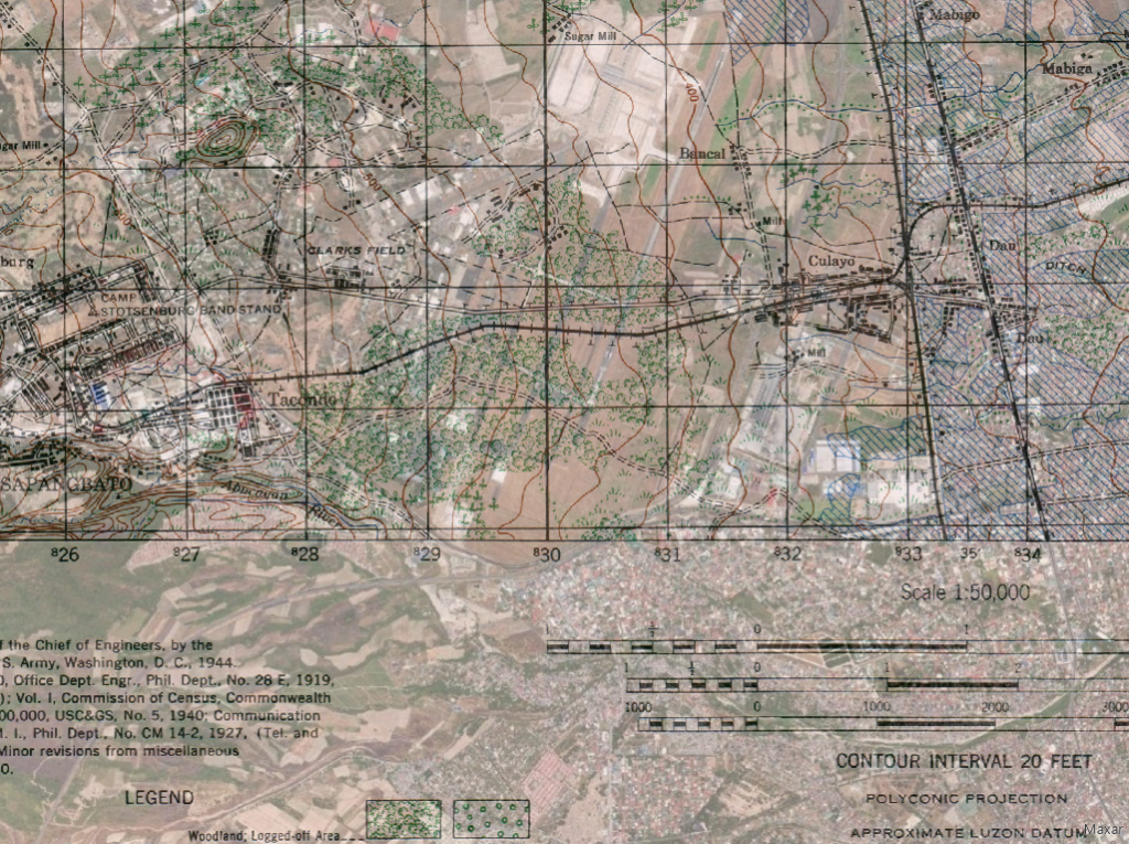
An 1944 Army Map Service 1:50,000 map of the Clark Field area was georeferenced to satellite imagery to show the wartime layout of the roads and rail lines in order to georeference the mission map. The road and rail junctions in the Dau area and a particular angle in the Camp Stotsenburg perimeter were used as control points.
Near the center of the vertical aerial photo is a box marked “PHOTOS”. Several 499th tail camera photos taken in that area were included in the VBC unit history.
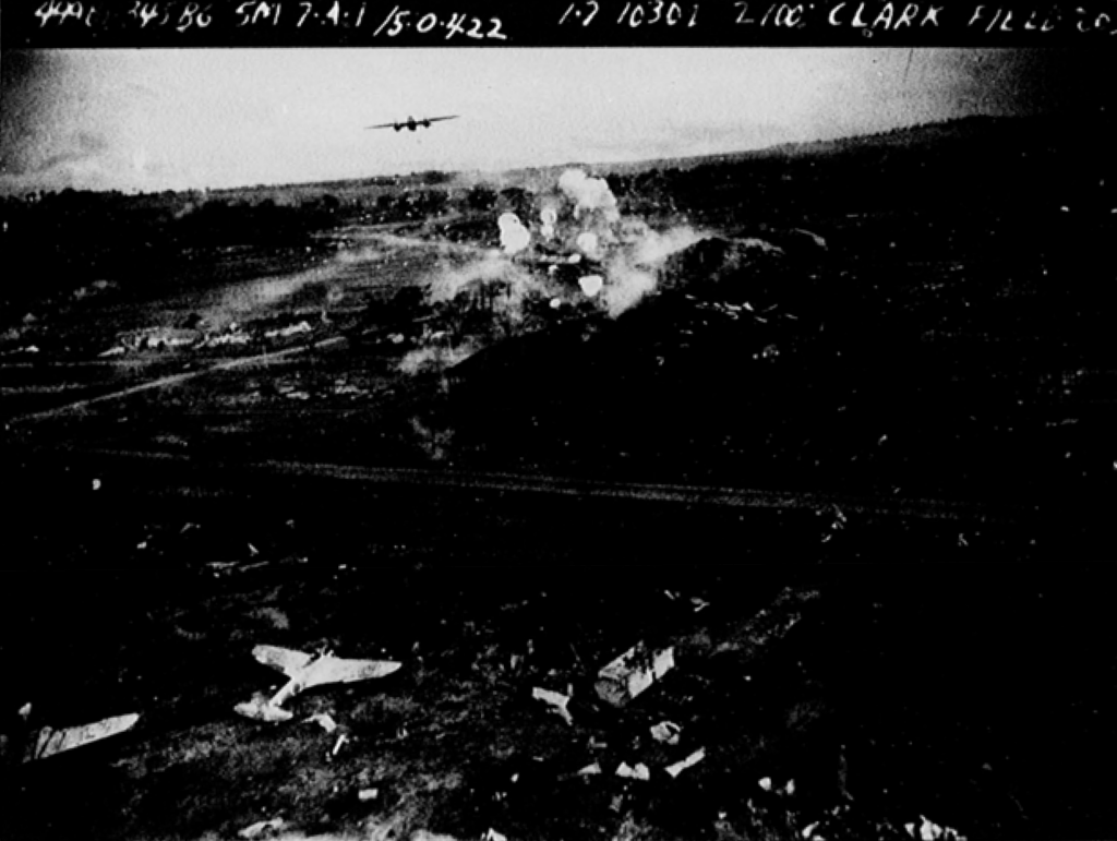
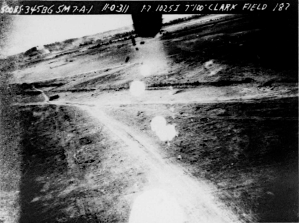
The unit history of the 500th Bomb Squadron included this photo recording their participation in the mission.
Maps showing the lines of flight of the 499th and 501st Squadrons were found among the historical documents and were used to create their coverage polygons on the live map. For the 498th and 500th Squadrons, areas of coverage and lines of flight were estimated from descriptions in the mission reports.
One airplane of the 499th Squadron caught fire in the right engine and crashed in the town of Angeles, several miles south of the target. The Browngardt crew of 6 were all killed in the crash.