Acting on a suggestion from my daughter, I thought it would be good timing to publish this post as a memorial to my uncle, Lt. Warren W. Everett, and the crew of the B-25 Tin Liz, which was shot down on May 21, 1944 near Dagua, New Guinea and resulted in their deaths.
The crew of the Tin Liz for that mission was:
- Lt. Delmar L. Wichmann, pilot
- Lt. Warren W. Everett, copilot
- Edgar D. Faulkner, Jr, engineer
- George R. Belchik, radio operator
- Fred A. Clayton, aerial gunner
- William J. Hogan, photographer
No matter what they might have been like as individuals, they deserve a lot of credit for finding a way to summon the courage to keep climbing into an airplane day after day to face the enemy.
These men joined the 501st Bomb Squadron as replacements while the original members were accumulating enough points to rotate back home. Those early crews were generally cohesive groups that flew together in the same airplane. Replacement crews seem to have been re-created daily, perhaps according some rotational plan. They rarely flew in the same airplane or with the same crew mates from one mission to the next.
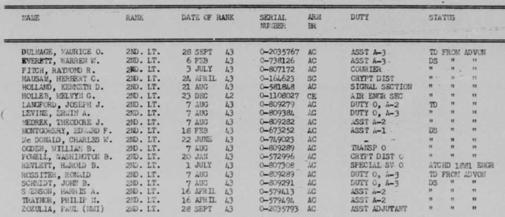
The suggestion for this post was prompted by encountering my uncle’s name on a February 1944 roster of officers assigned to the Second Air Task Force, or 309th Bomb Wing, as it was also known. I had been transcribing some archival documents for an online library and after completing 55,000 or so entries, his name just happened to be present on one page. The excitement I felt upon reading his name was the same as what I felt when I first walked into the clearing where the wreckage of that airplane rests. I knew he had spent some time with the 2ATF while in New Guinea, but had no documentation for it. Part of the page of that roster is shown in the image below.

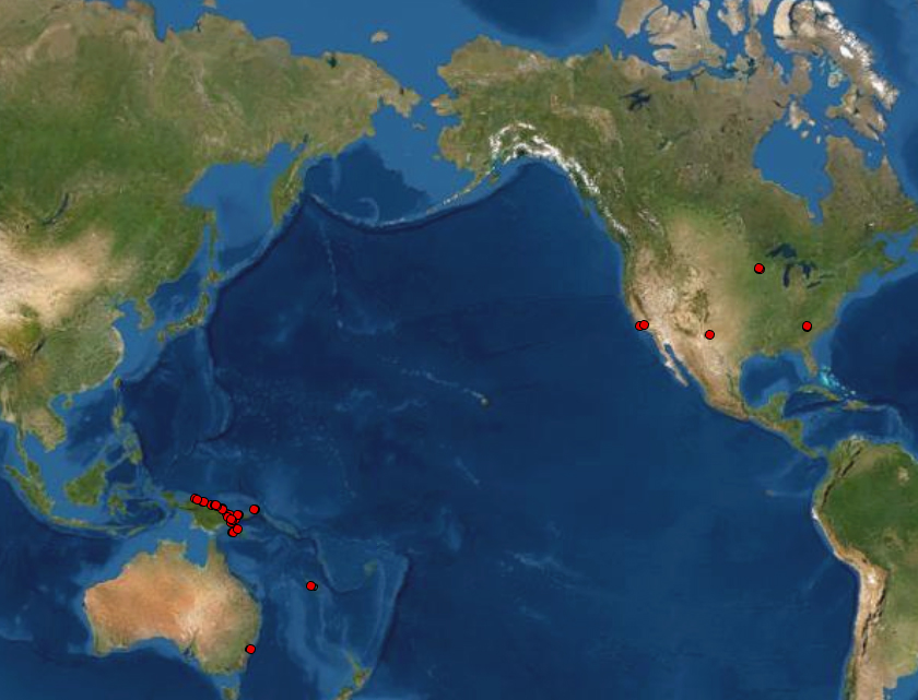
An interactive map showing the known locations of Lt. Warren W. Everett, Air Corps, from his birth in Minnesota until his death in New Guinea.
The interactive map above shows the known locations of Lt. Everett from birth until his death. Clicking on a red dot will bring up a popup that lists information about that location. Some of the popups contain files for photographs and documents. Place names for many locations will appear as you zoom in closer to the dots.
This interactive version of the map is a bit clumsy because it does not allow for the initial image to be displayed across the 180th meridian, or date line. It does include all the locations, but the visual connection between the US and the southwest Pacific is lost as compared with the static version at the top of the page. Fortunately, you can click and drag the map to the left or right and regain the proper perspective.
