
An interactive map of the crash location of B-25 #43-36191 on February 23, 1945.
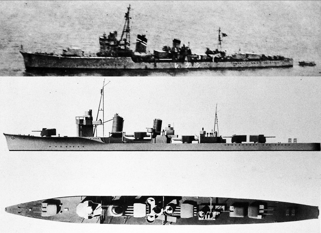
The 500th Bomb Squadron flew a shipping sweep mission on February 23, 1945. They encountered a convoy in Phan Rang Bay, Indochina and made their minimum altitude attacks from the southwest. Their runs were made in two-plane elements with each wingman following behind their lead. The first element, composed of Lts Hall and Bagley, opened the attack by heading for a destroyer that was putting up a tremendous amount of anti-aircraft fire.
The forward-firing guns on the lead plane apparently failed to operate, so Lt. Bagley moved to one side so that he could strafe the deck of the destroyer to quell the heavy barrage and protect the lead plane during the bomb run. The wingman took a hit in the right engine early in the run but continued strafing all the way to the destroyer. He managed to fly over the destroyer but then crashed and exploded in the bay about fifty yards beyond the vessel.
I located a 1945 map of the Phan Rang Bay area and after creating a grid of one minute squares, was able to plot the reported location of the convoy.
The map sheet was then georeferenced to satellite imagery and the convoy location transferred for use in the live map at the top of this page.
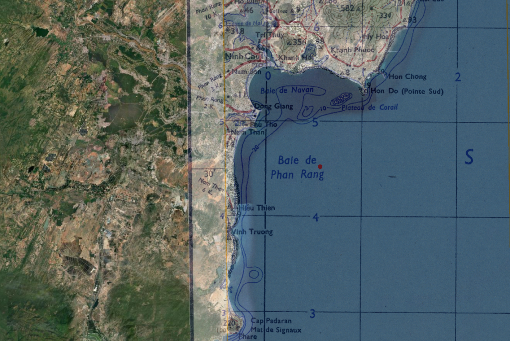
Since B-25 #43-36191 crashed fifty yards beyond one of ships in the convoy, the convoy location can essentially be considered the crash location. It is likely that the map employed by the 500th Bomb Squadron navigators that day was different than this 1945 map sheet, but from other maps I was able to compare, the convoy coordinate locations are in the same part of the bay. It is also likely that the convoy coordinates (given in degrees and minutes) are not exact. For that reason, on the live map I included a 30 second bounding box to indicate the area implied by those coordinates.
Lost in the crash of B-25 #43-36191 were:
- 2Lt Joseph H. Bagley, pilot
- 2Lt Jack L. Long, copilot
- 2Lt Elias B. Kemp, Jr., navigator
- Cpl Myron E. Nelson, engineer
- Cpl Arnold M. C. Malchow, radio operator
- Cpl Roy H. Martin, Jr., aerial gunner
The entire crew of six remains on the DPAA Not Recovered list.