
On February 15, 1944, all four squadrons of the 345th Bomb Group attacked the town of Kavieng on the island of New Ireland. The attack was mounted in eight waves of five or six airplanes abreast at thirty second intervals and was conducted from the south to the north. At an airspeed of around 215mph, each wave would have spent about 20 seconds over the Kavieng town area.
This was an expensive raid in that five airplanes were lost. One airplane crashed on takeoff, killing the entire crew. One airplane crashed on land just north of the target, with no survivors. Three airplanes ditched in the sea. Fortunately, two of those aircrews were rescued by a Catalina that same day and a third was rescued two days later after being sighted on a small island southwest of Kavieng.
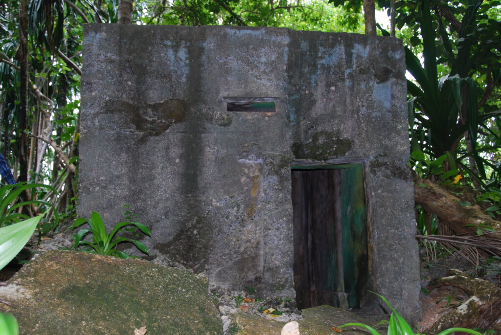
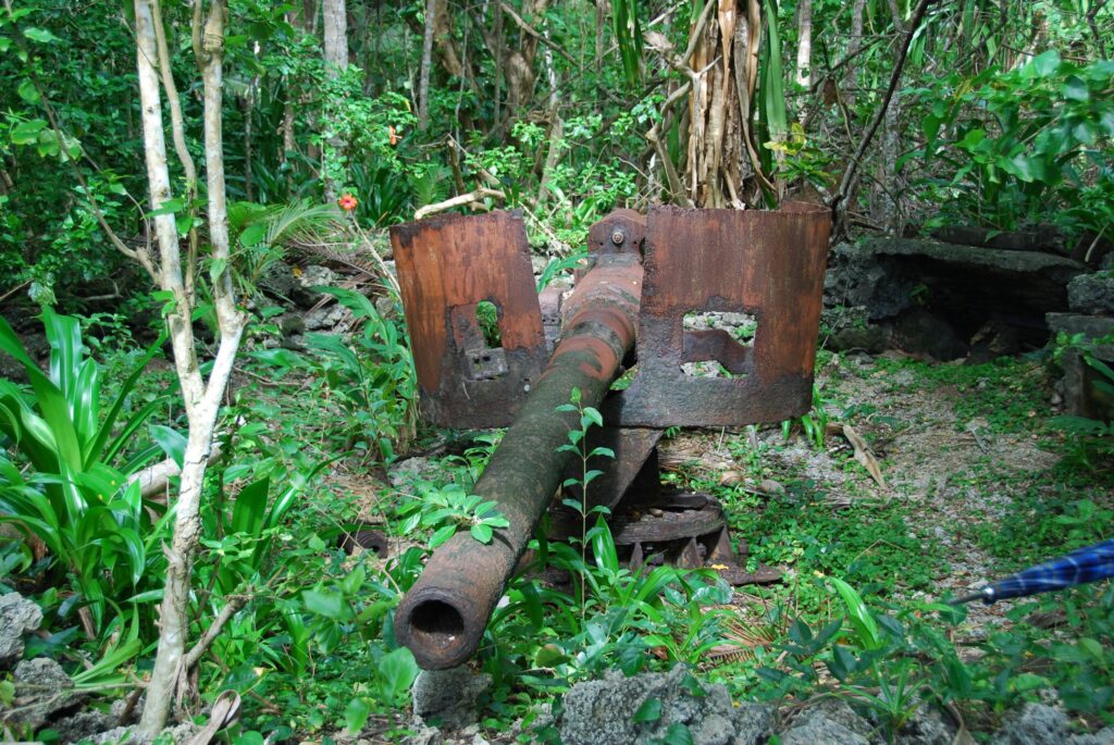
Anti-aircraft fire was intense over the target area and flames, dense smoke and flying debris added to the hazards of flying at 50 to 100 feet above ground level. Machine guns, A/A emplacements and coastal artillery were all employed against the 345th during the raid.
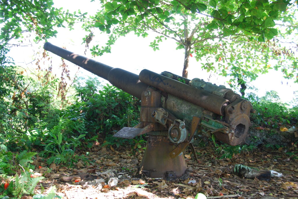
After passing over the town, crews reported that they continued to take fire from concrete bunkers and and prepared positions. One of the downed aircrews reported that a coastal gun was firing at the floating wreckage of their airplane.
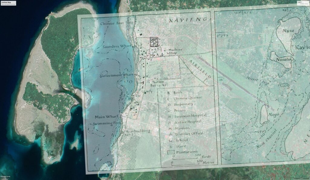
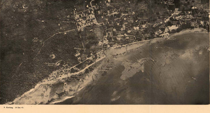
Three of the four mission reports included mission maps that indicated where bombs were dropped. These mission maps were used as overlays on satellite imagery to get latitude/longitude coordinates for each indicated bomb. There was no map included with the 499th mission report, but the text of the report was detailed enough, with place names mentioned, that bomb placements could be estimated reasonably well using an annotated 1943 aerial reconnaissance photo (found in Terrain Study No 75, Allied Geographical Section, Southwest Pacific Area, February 1944) and an old map of the Kavieng harbor and town, which was then used as an overlay to obtain coordinates. In overlaying each of the maps, particular attention was paid to the shoreline along the west edge of the town and to any roads, wharves or terrain features that could make the overlay more accurate for the town area. As with previous overlays, terrain features away from the focus area, such as the two small islands in the harbor, are less accurately overlain while the town and it’s shoreline is well matched up.
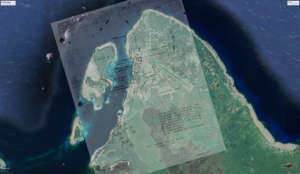
Once the bomb locations were plotted and their coordinates determined, they were used in a mapping program to produce the interactive map displayed below. The dot colors represent the engine cowling paint colors of the four squadrons: yellow for the 498th; blue for the 499th; red for the 500th; and orange for the 501st. Black dots encircled with white rings indicate the airplane crash sites. Zooming in will relieve some of the map congestion and allow for better viewing of each squadron’s actions.
Despite the loss of aircraft and crews, the entire mission was considered an overall success, with several shipping vessels and smaller boats destroyed in the harbor, large quantities of supplies destroyed, several float planes rendered unserviceable, and many buildings blown up.